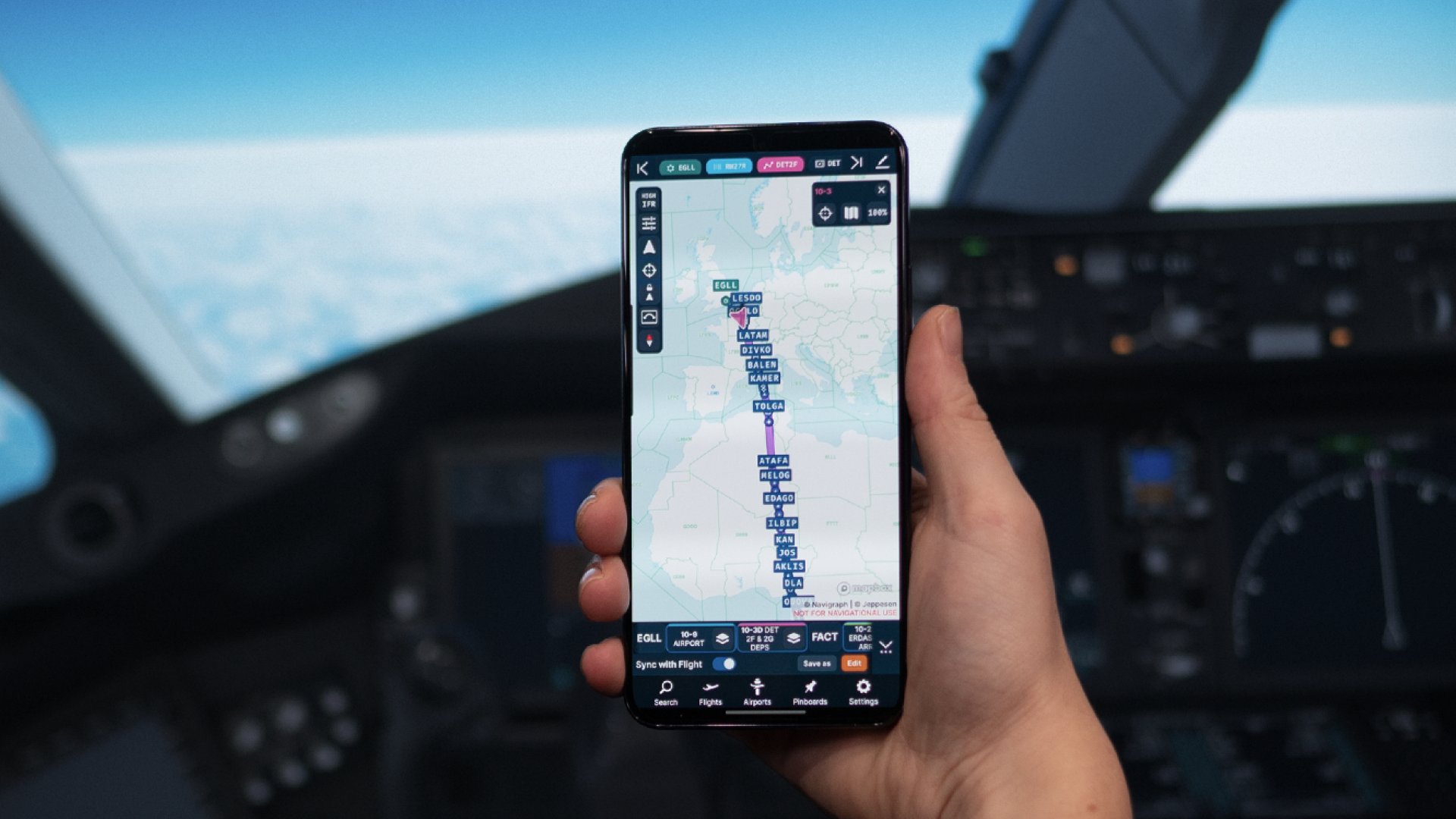
The mobile/smartphone version of Charts 8 sports the same features as the tablet-sized app but is adapted to iPhone and Android devices with a smaller screen size.

The new version of Charts 8 enhances more than 1000 airports worldwide with highly detailed diagrams rendered from Jeppesen Airport Mapping Database. The new diagrams are designed to assist pilots with situational awareness by allowing them to view essential references such as runway markings, taxiway lines and parking areas. It also displays buildings and obstructions, surface roads and construction areas.

Airport Mapping Database is a Geographic Information System (GIS) database that describes information for a specific airport. This includes:
The Charts app is available on iOS and Android devices (mobile and tablet), desktop (Mac and Windows) and as a cloud-based version. More information is available on the Navigraph website.
Read more about Italian Atlantic retirement scheme US Army’s 101st AVN welcomes new Chinook unit
This is a premium article and requires an active Key.Aero subscription to view.
I’m an existing member, sign me in!Premium Key Aero subscribers get access to read all our magazines online as soon as they leave the editor’s desk.


 Sign In